Neighborhood Analysis:
Images below based on information from obtained from the City of Philadelphia (gsg.phila.gov/map)
East Pasayunk (below)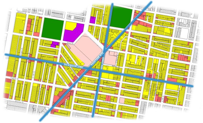
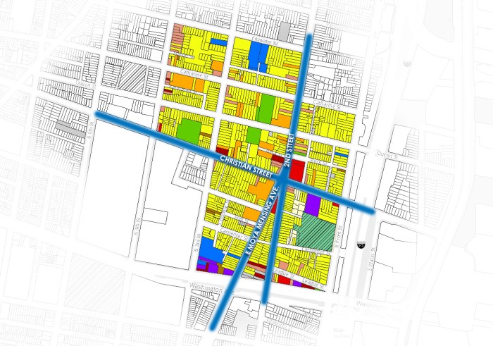
South of South Street (below)

Queen Village
Existing 40th Street Corridor (Grey areas indicate vacant land)

Land Use Color Legend:


This is very interesting information regarding other sites in Philadelphia. How are you planning to overcome the large amounts of industrial use in our areas that the other examples don’t appear to have as much of? Since there is a decent amount of vacant spaces, are you planning to infill with residential uses such as South of South Street or create higher density residential an or mixed use buildings such as what Queens Village and East Passayunk use? I believe this decision will drive your forms such as your existing forms might work in higher density and mixed use areas while in residential communities it may be to monolithic without alteration. I am excited to see what you come up with.
LikeLike
These studies are useful to better understand the composite of “working” neighborhoods in the city. It would be valuable to include a few simple bullet points (or rules) about what you learned from this analysis exercise. You should also use similar scales of maps to compare your site area to the others – but I do think that your graphic techniques for reprsenting the vacant “holes” or parcels within your site is very effective and would encourage you to continue using this representational technique.
LikeLike